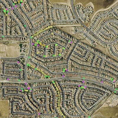
GeoReserves uses advanced Geographic Information Systems (GIS) technology to map out the locations of certain components located throughout your community. These components include streetlights, park furniture, security cameras, irrigation system items, and any other components. These maps are useful to help locate and track inventory and data such as condition, model and serial numbers, and other notes.
Additional software may be required to view these maps, please contact GeoReserve for additional information.